Compare software

Roadtrippers vs Google Maps: catalog facts
RoadtrippersGoogle Maps

Screenshots

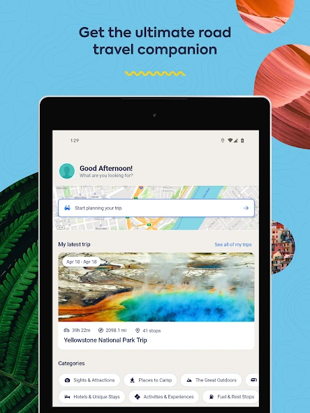
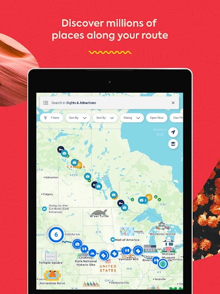
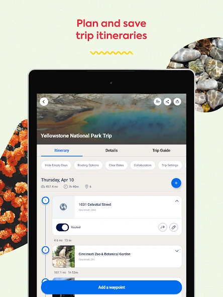
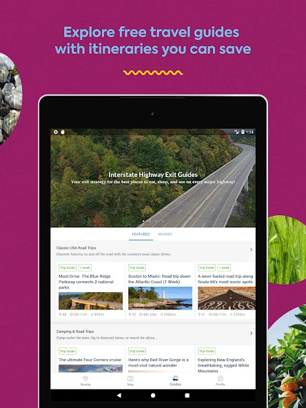
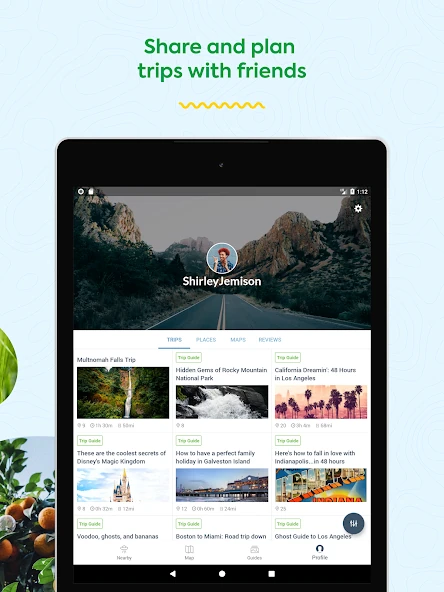
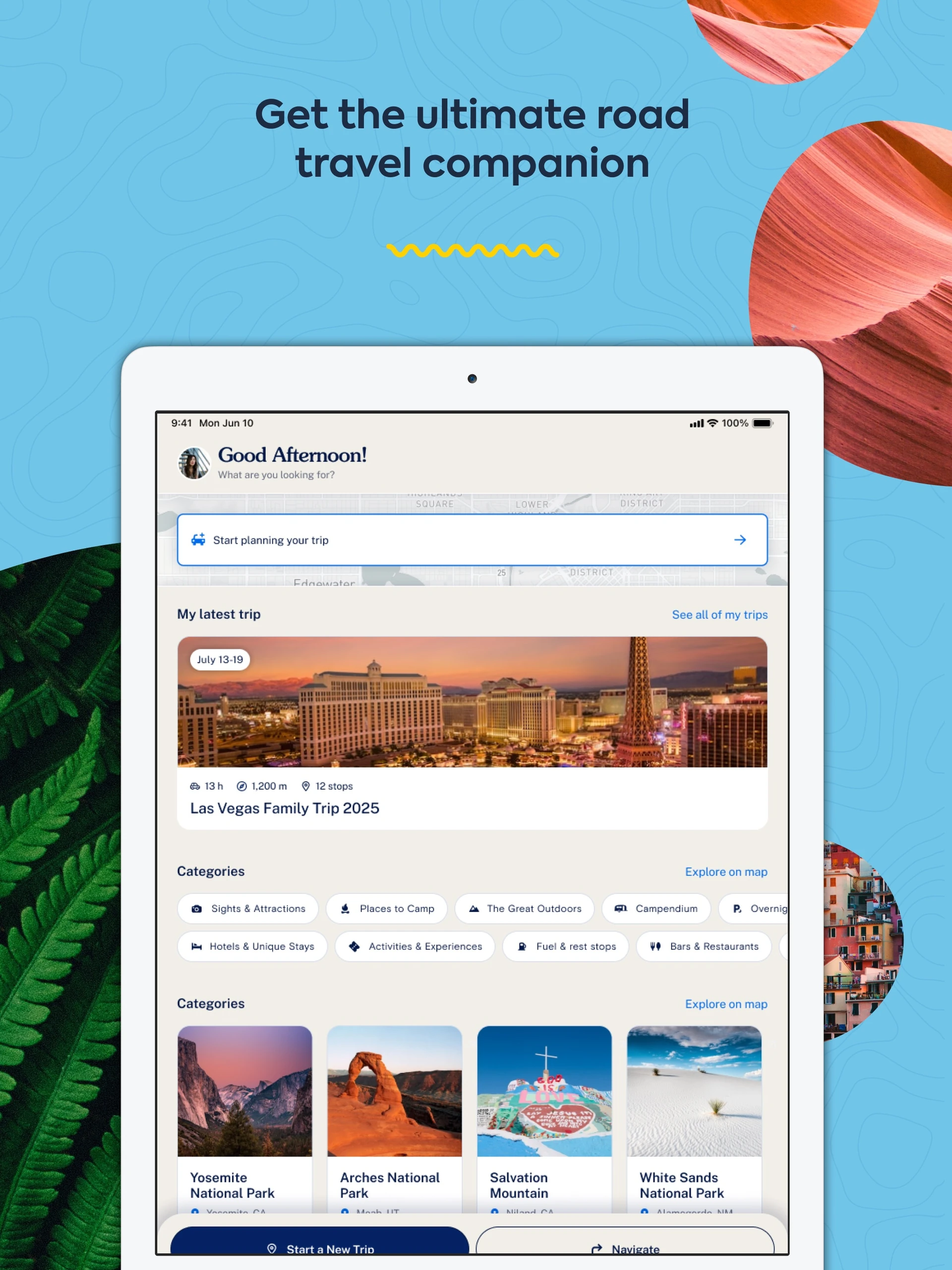
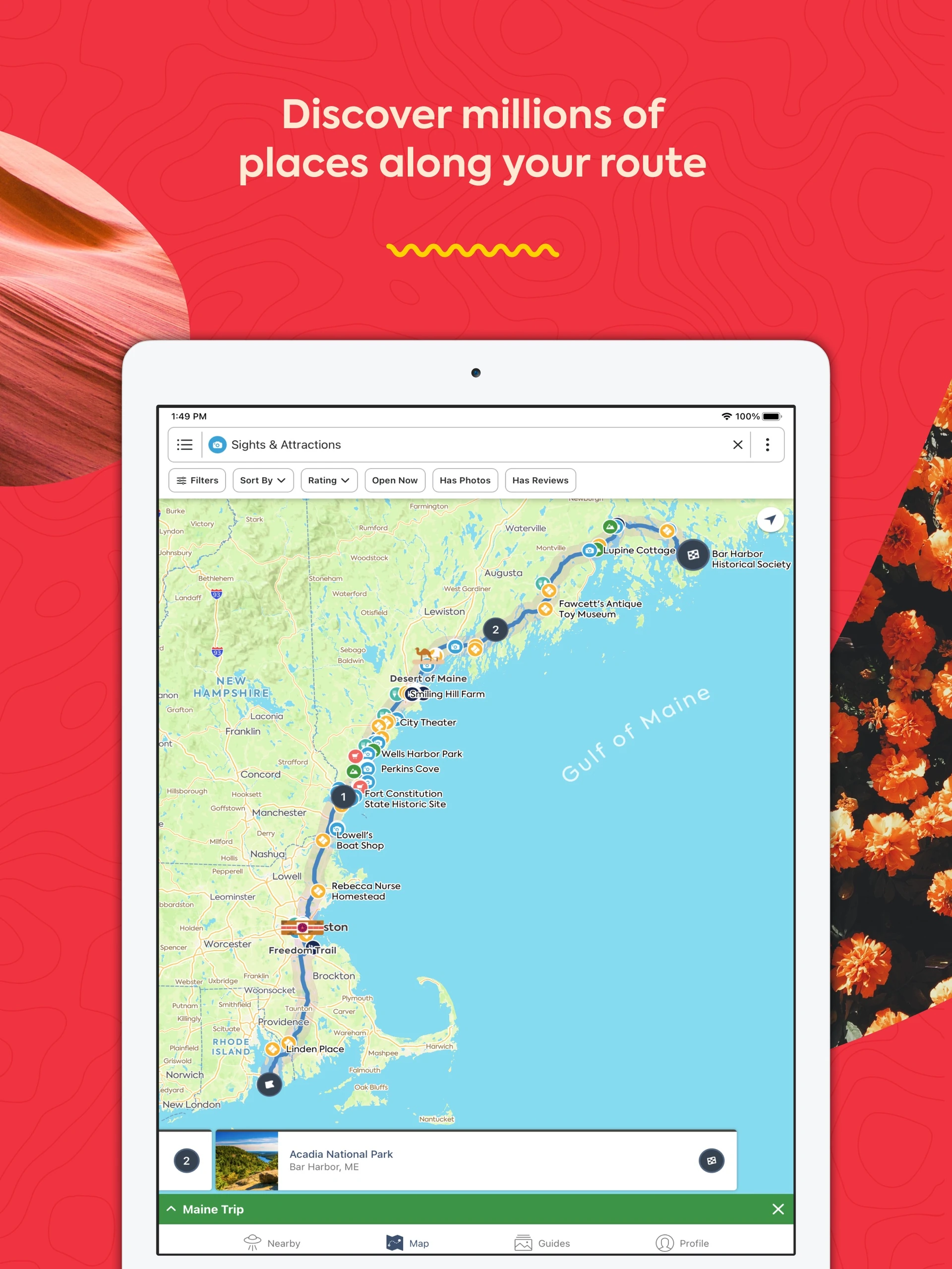
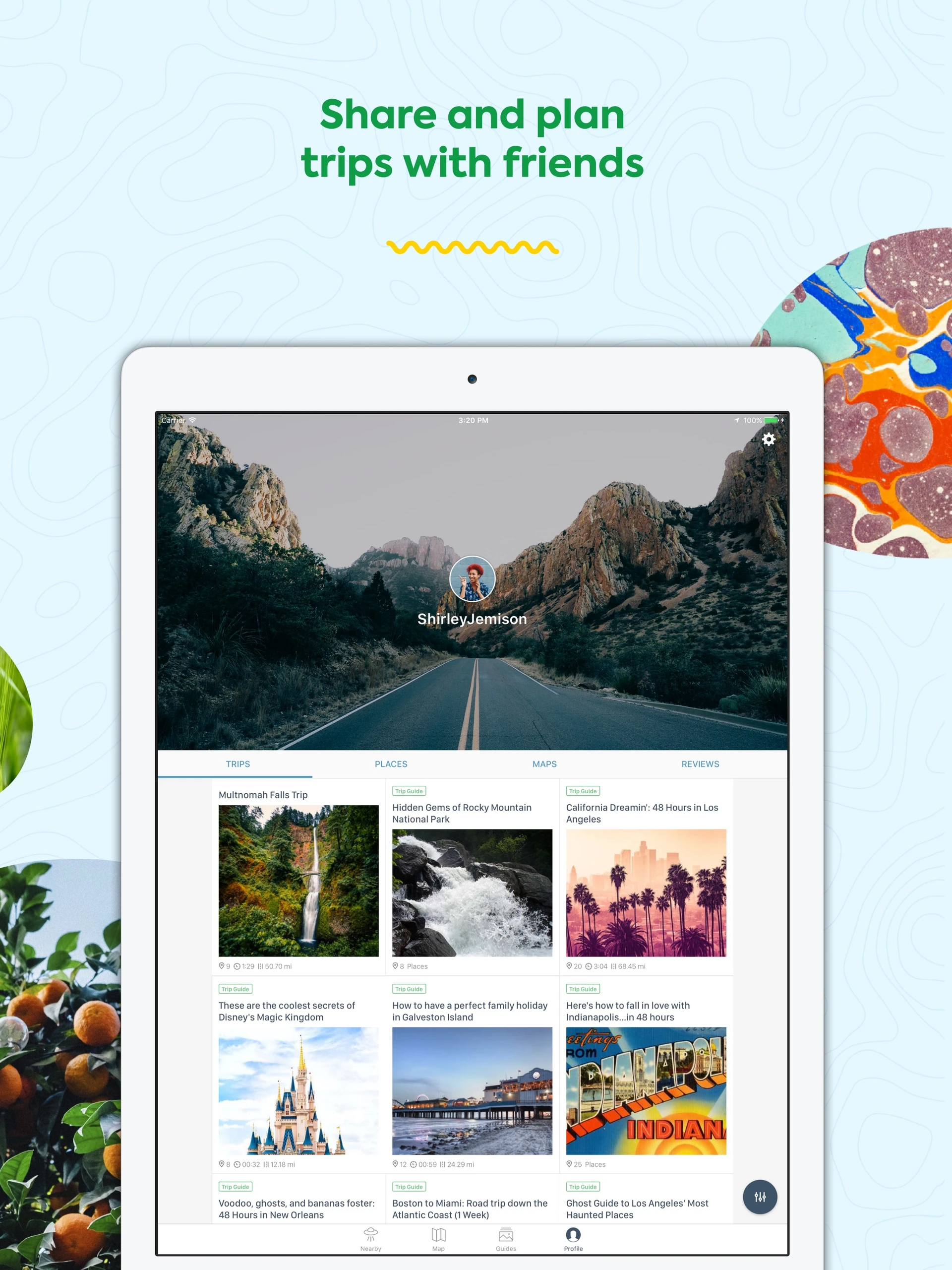
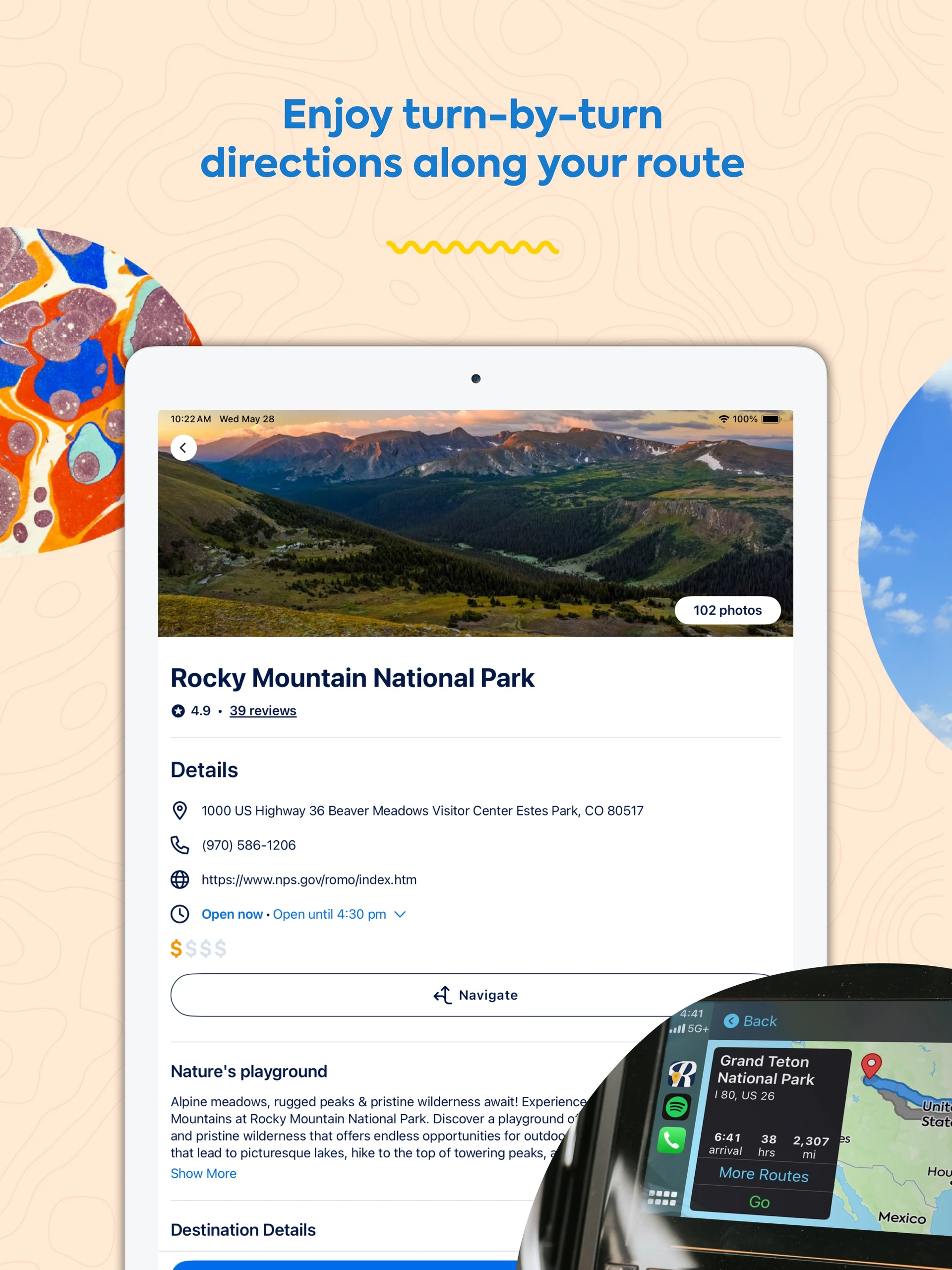
Roadtrippers Android tablet home with latest Yellowstone trip and category navigationRoadtrippers Android tablet route map with clustered places and sights filtersRoadtrippers Android tablet Yellowstone trip itinerary with dated stops and Add waypoint controlRoadtrippers Android tablet Interstate Highway Exit Guides with saved guide cardsRoadtrippers Android tablet traveler profile with grid of shared tripsRoadtrippers iPad home with Las Vegas trip and suggested national park categoriesRoadtrippers iPad coastal Maine route map with search filters and selected placeRoadtrippers iPad Cincinnati trip itinerary with ordered stops and add waypoint barRoadtrippers iPad Interstate Highway Exit Guides with columns of guide cardsRoadtrippers iPad traveler profile with shared trip galleryRoadtrippers iPad Rocky Mountain National Park details with address, contact information and Navigate button

Screenshots

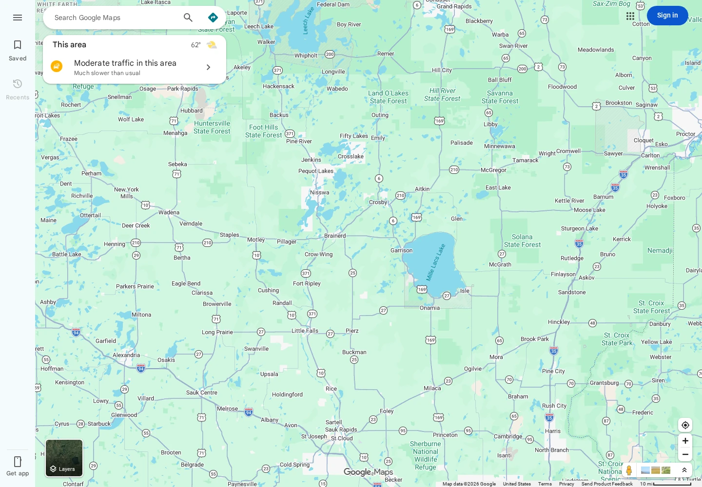
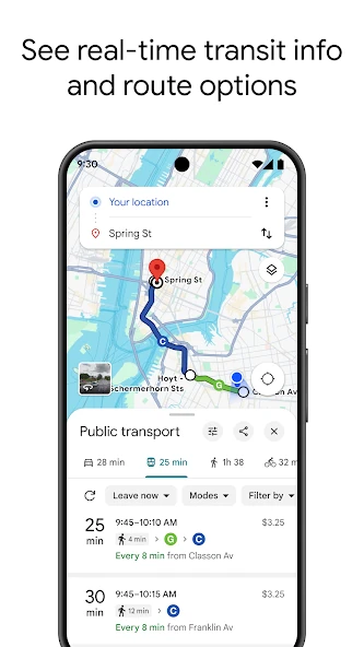
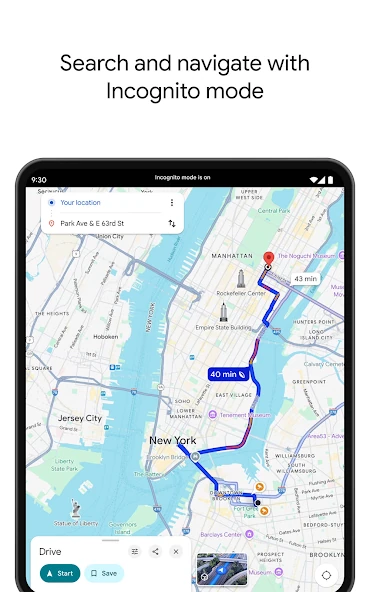
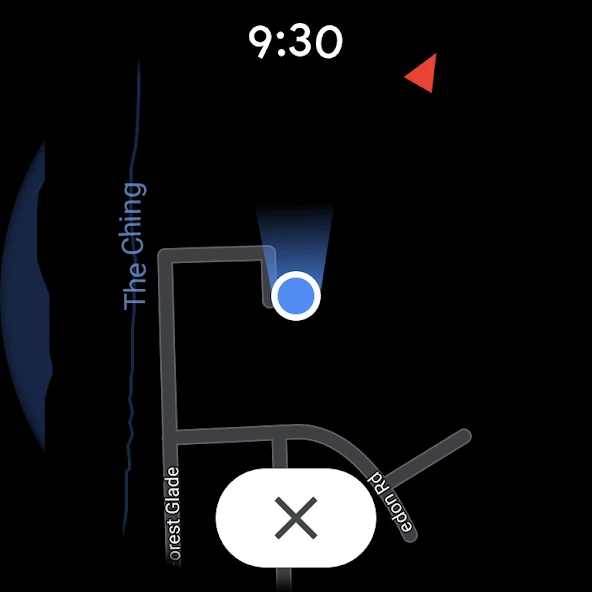
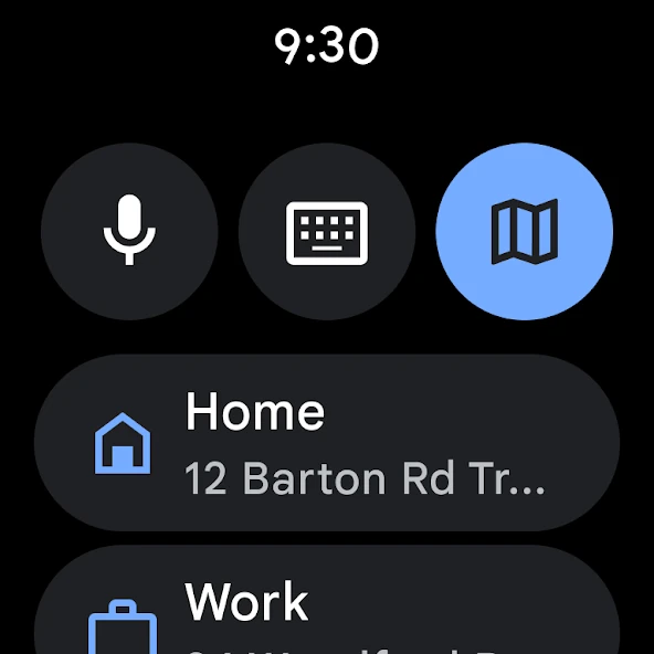
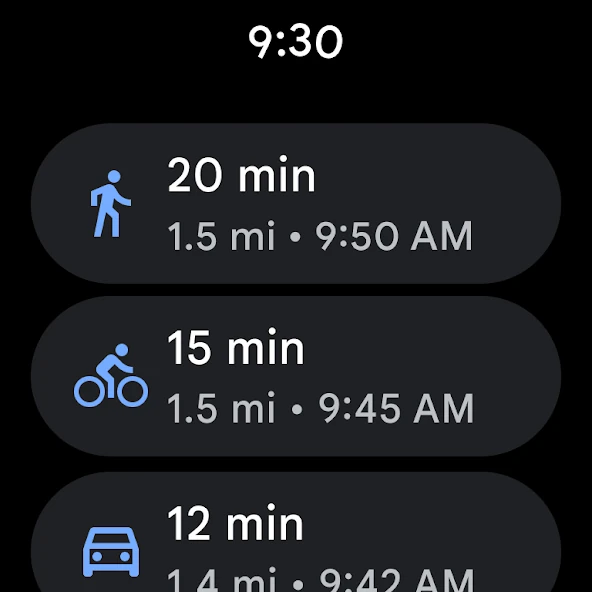
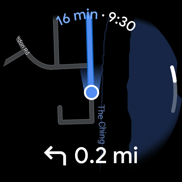
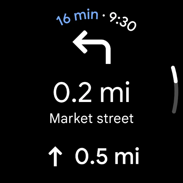
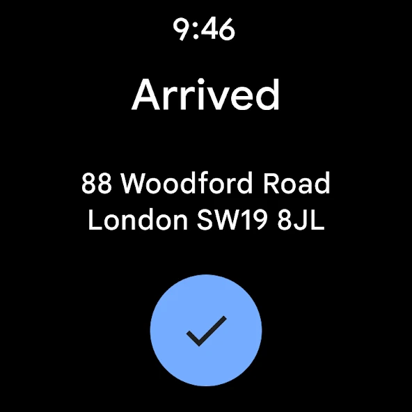
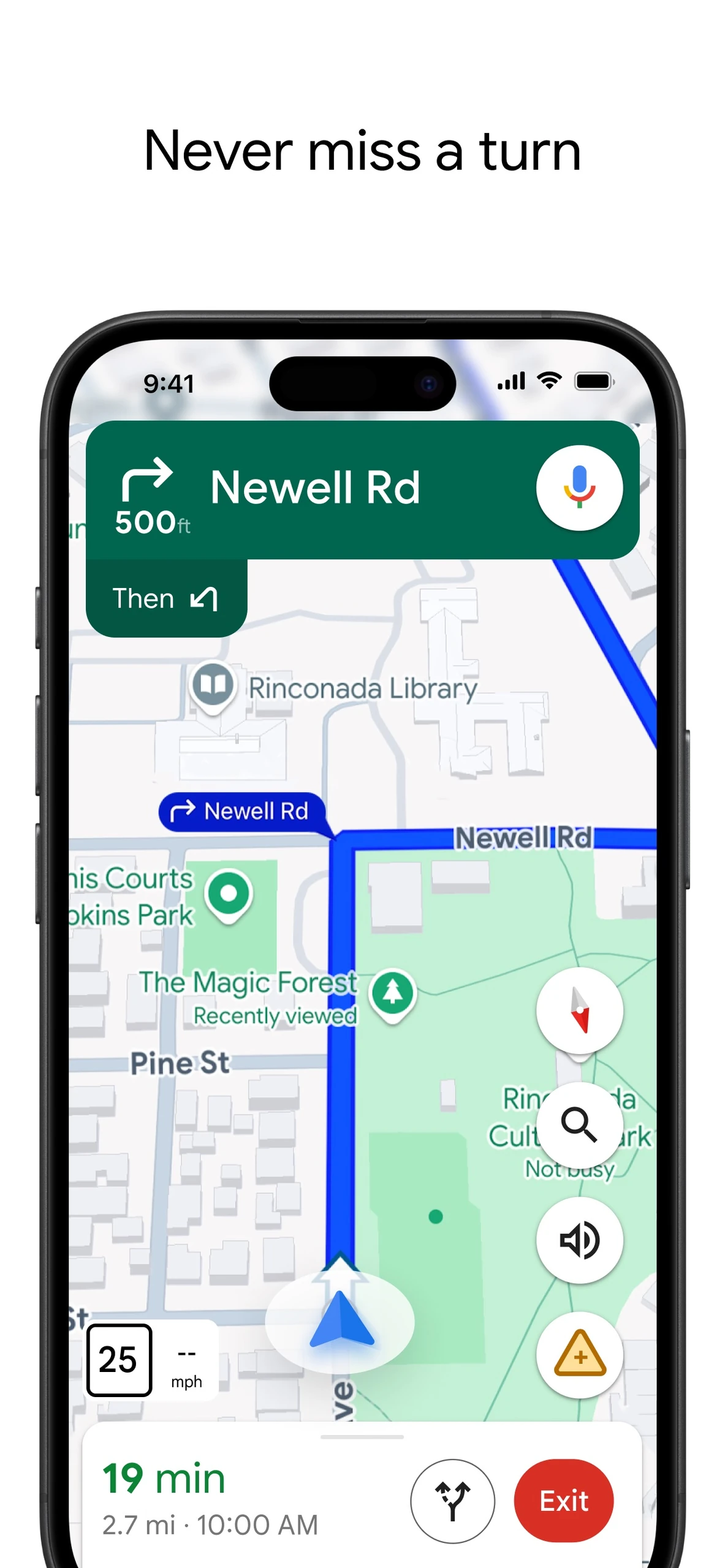
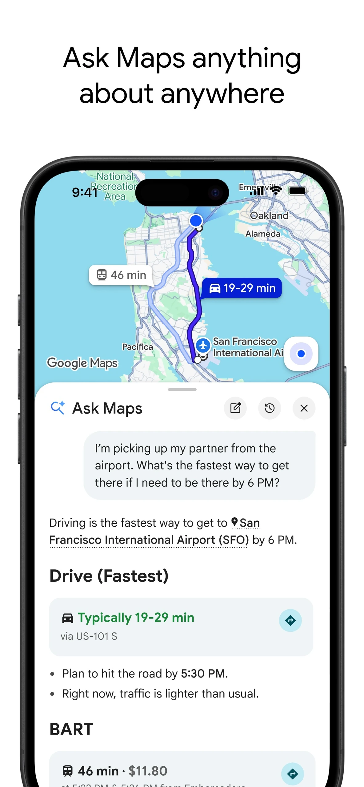
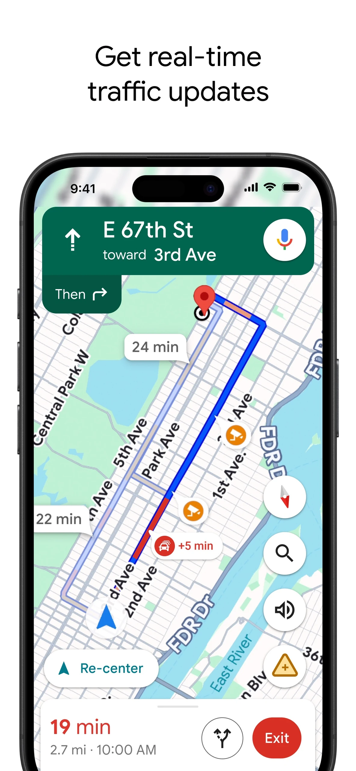
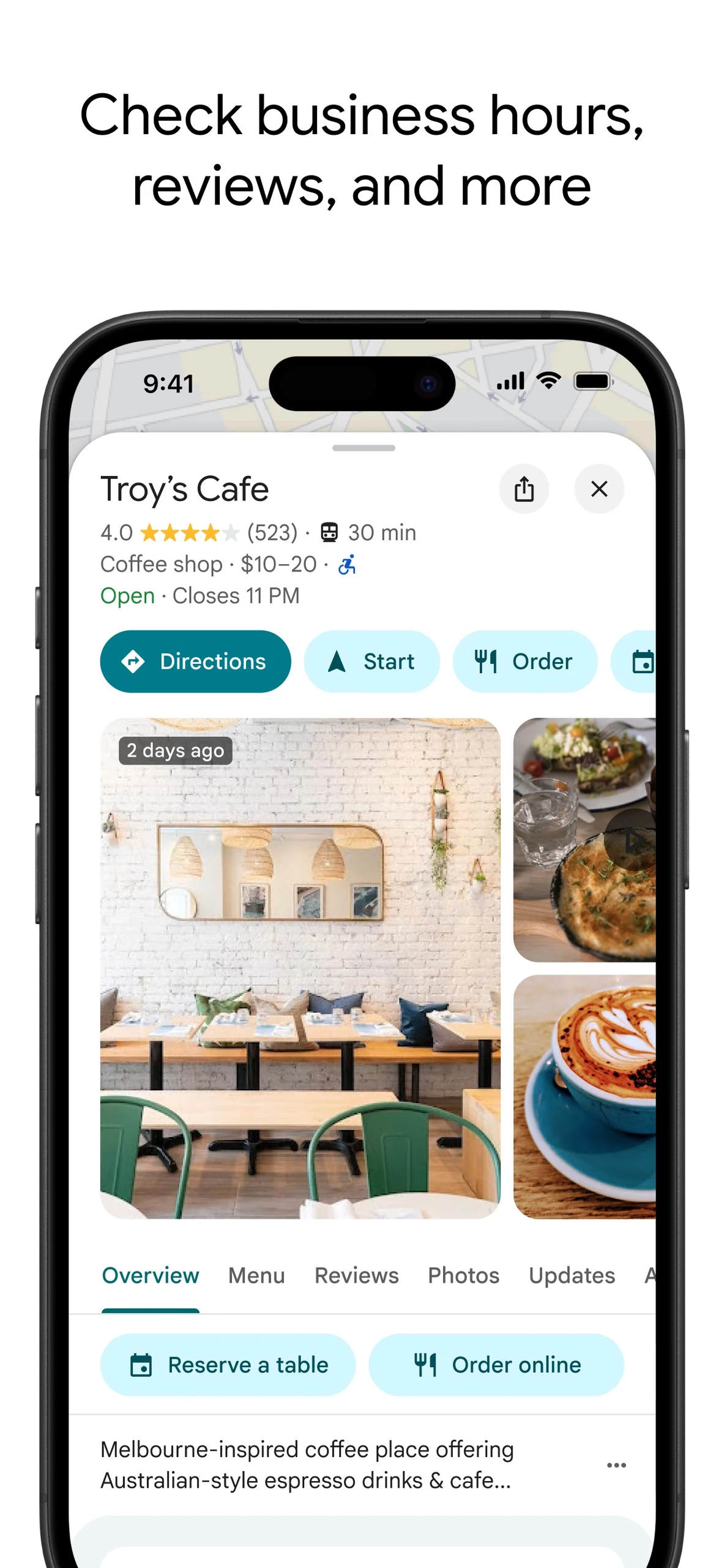
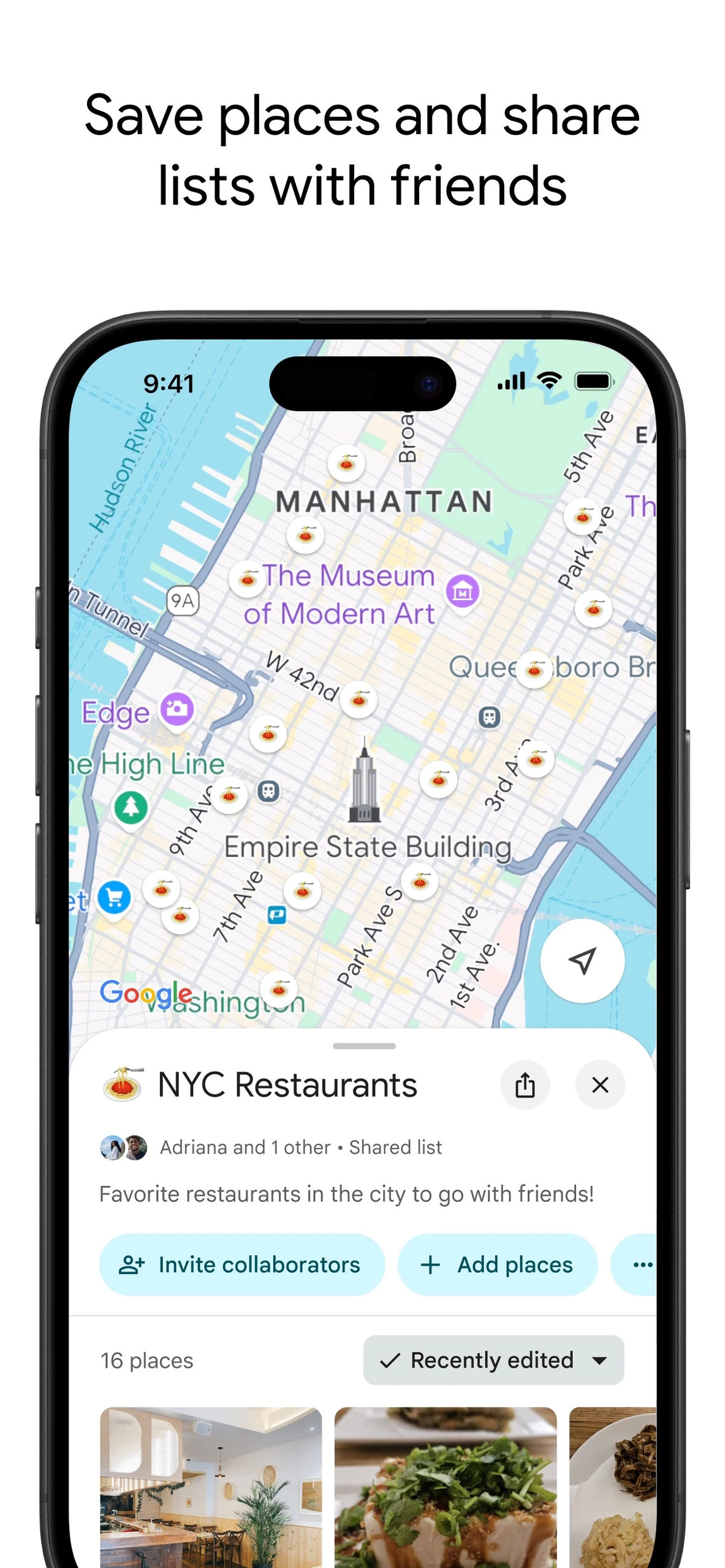
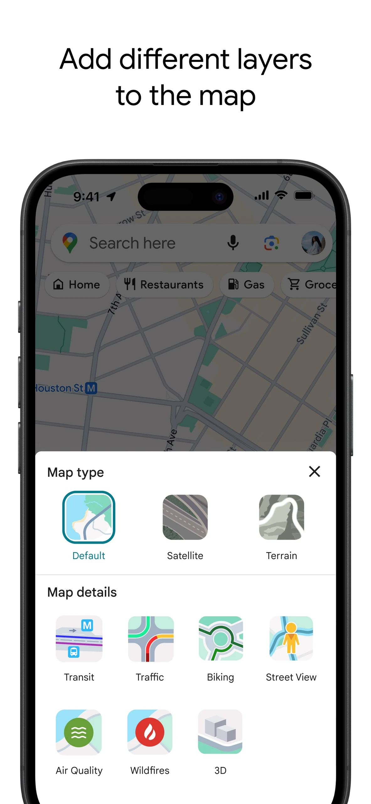
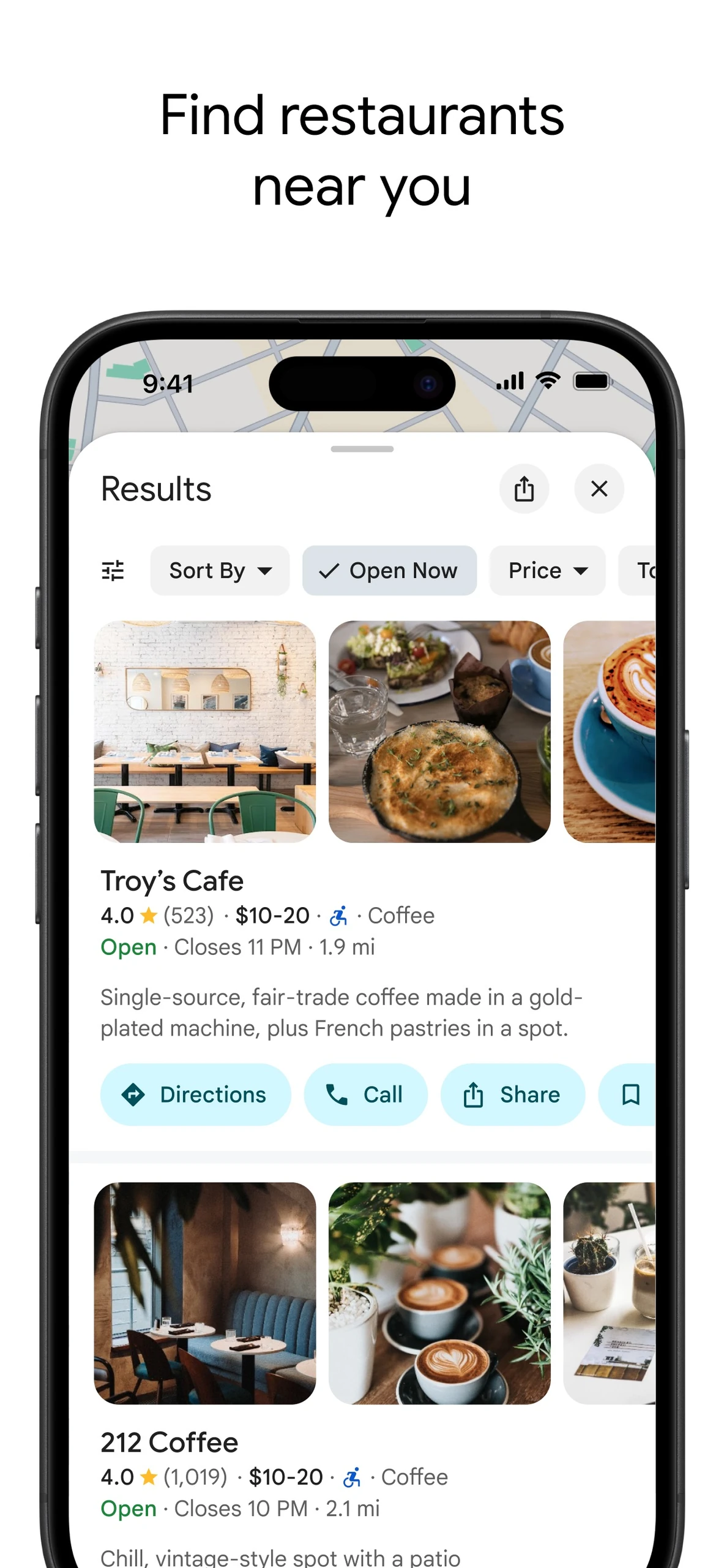
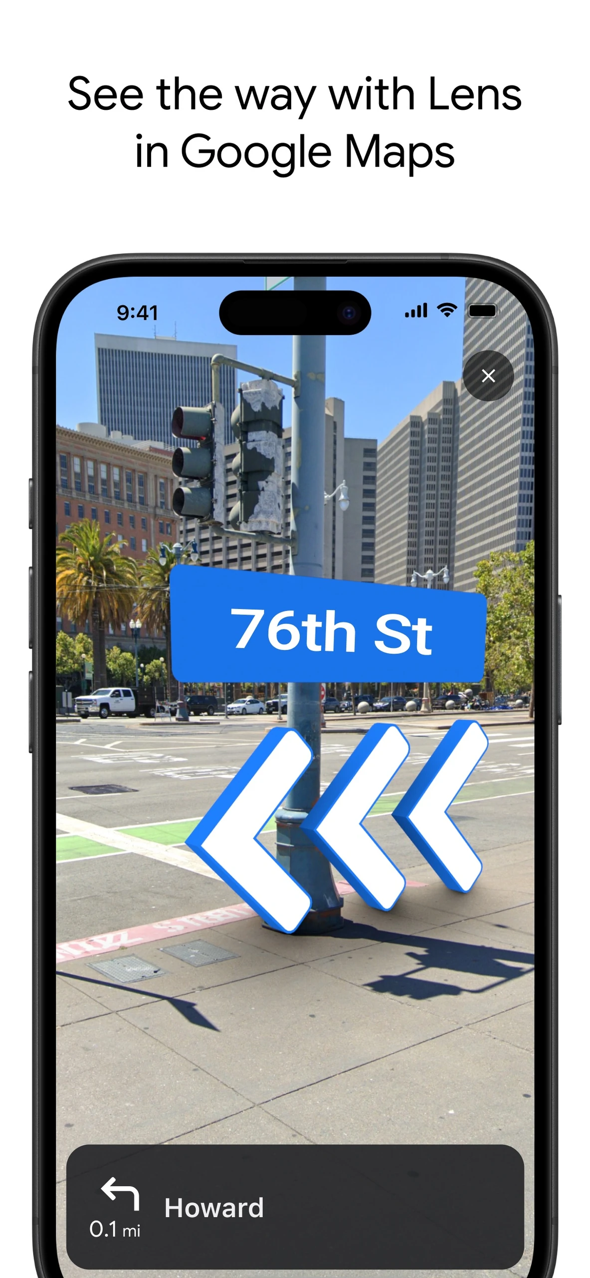
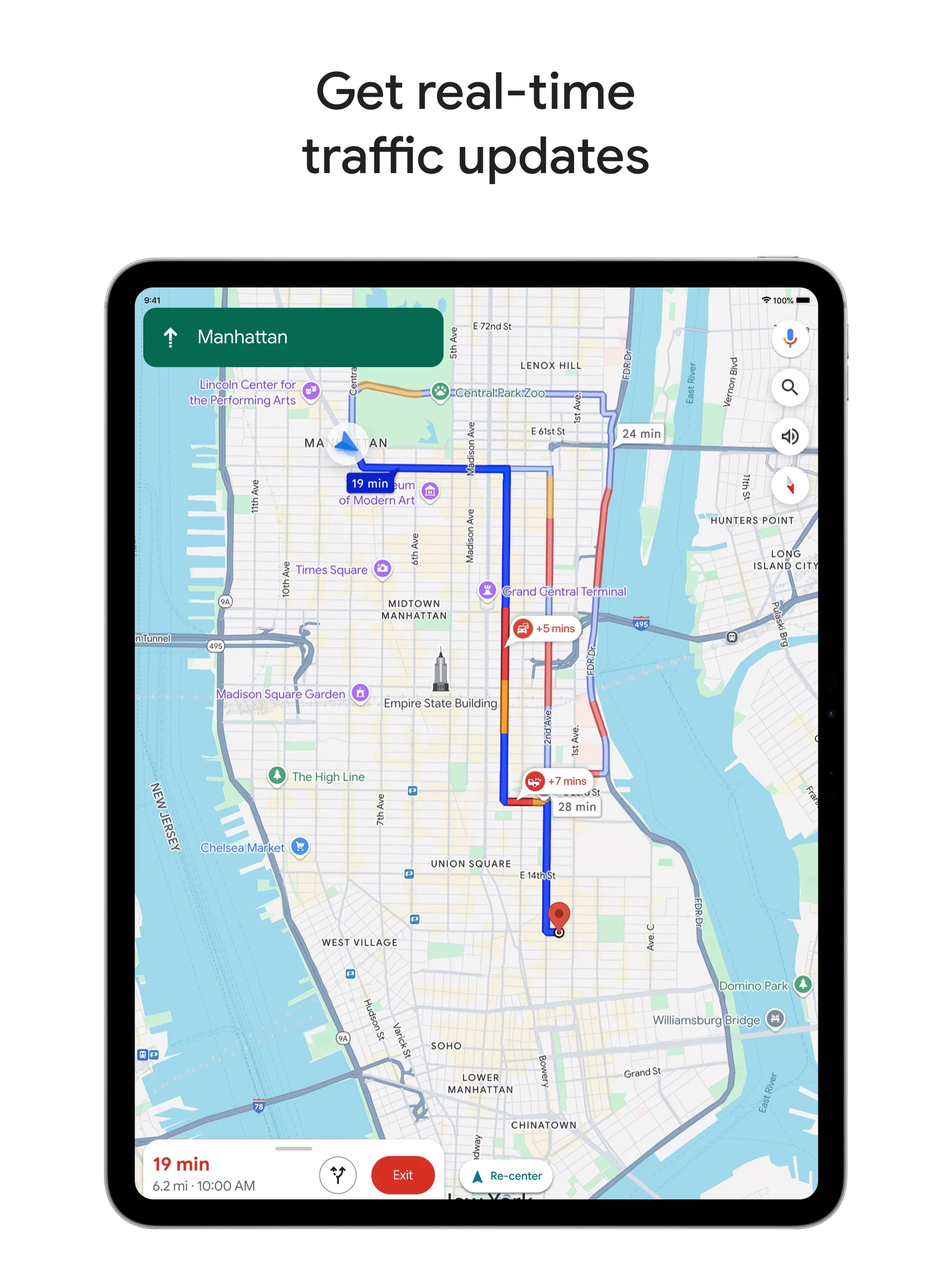
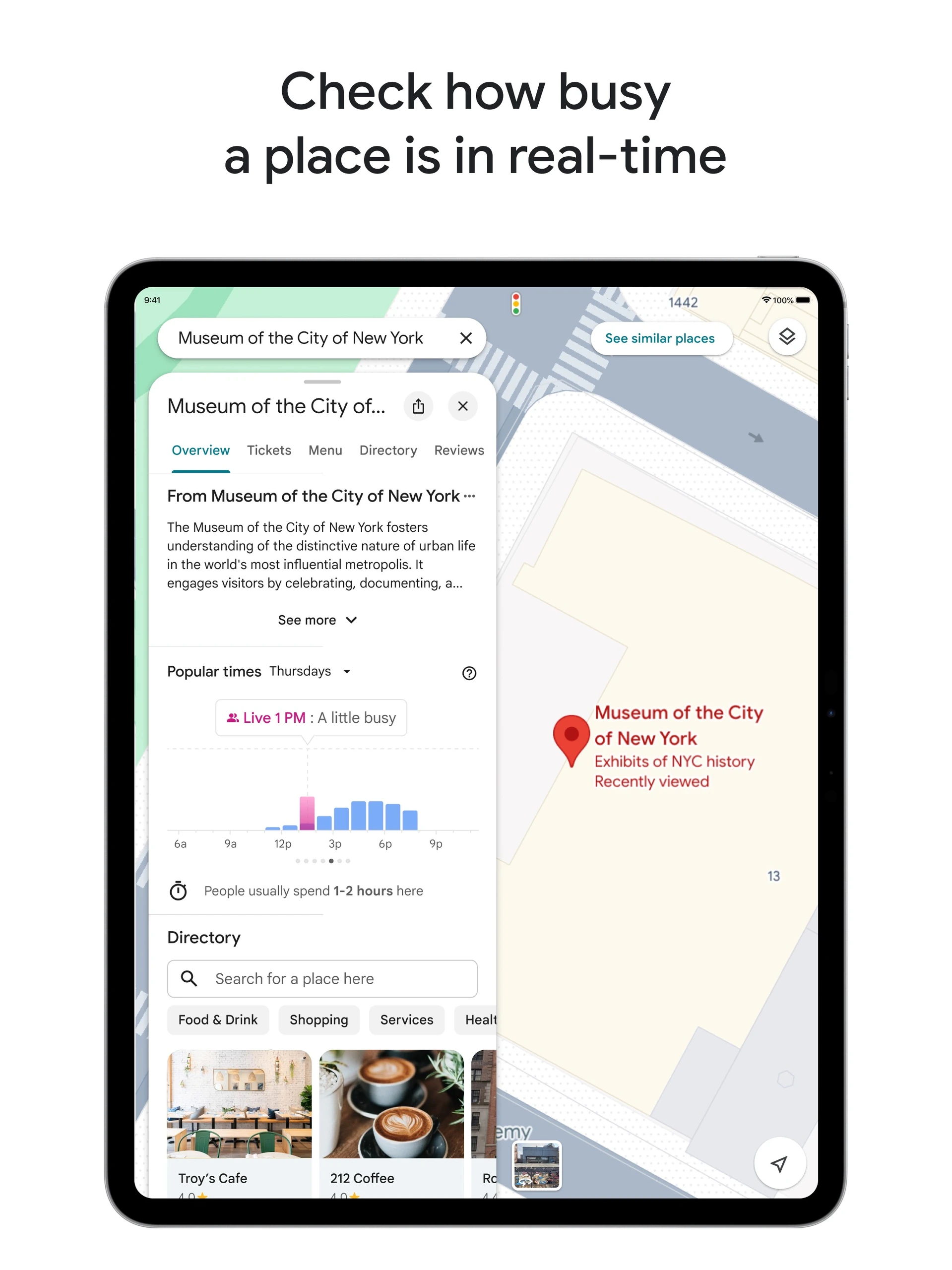
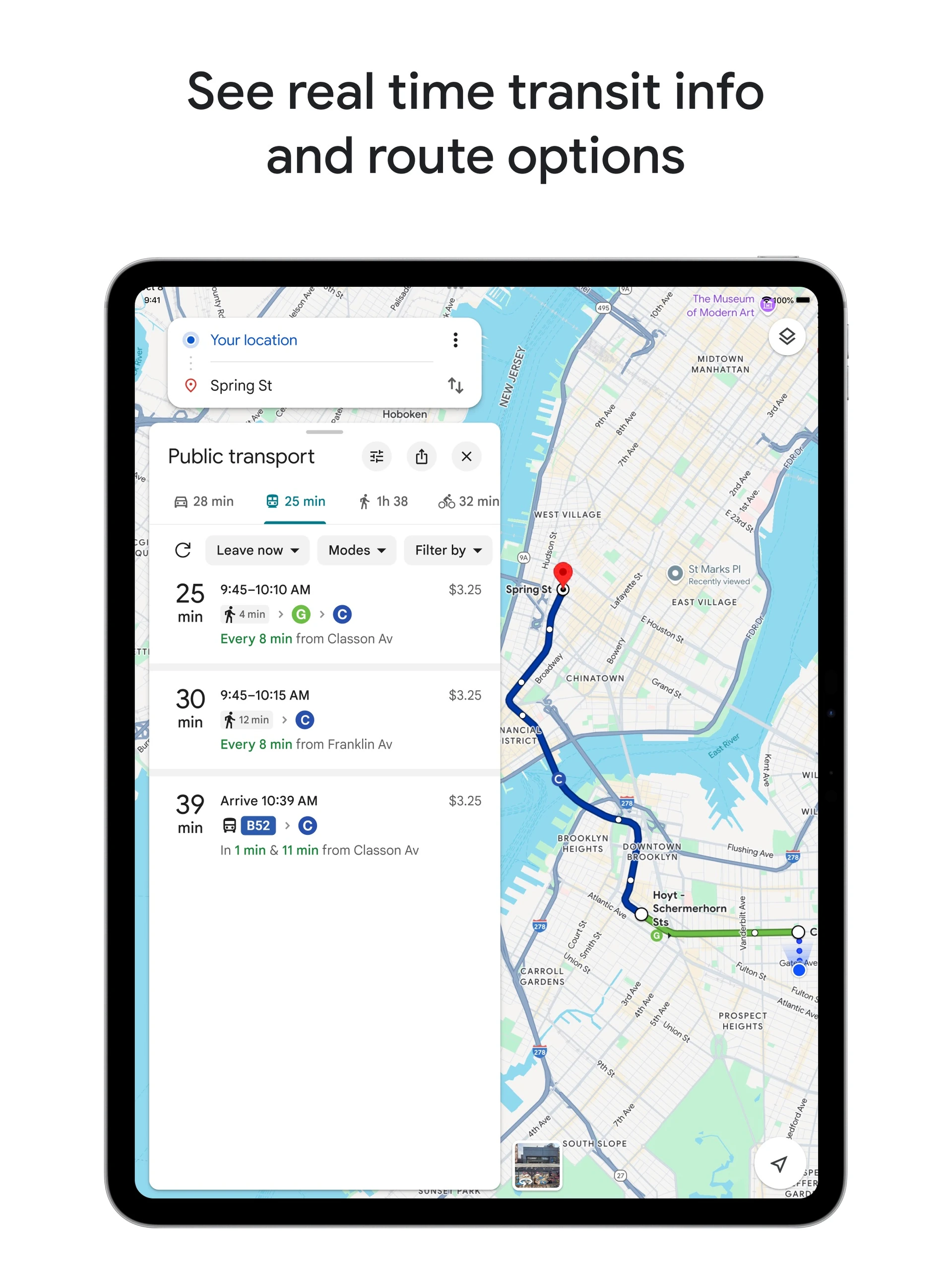
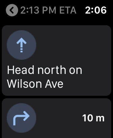
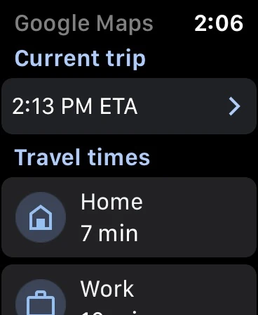
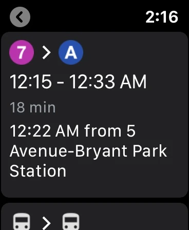
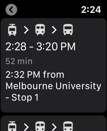
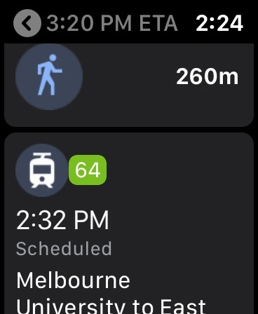
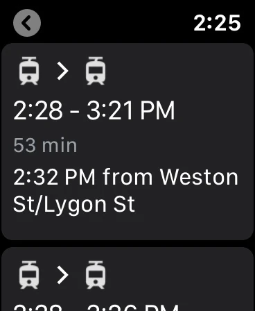
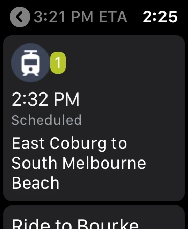
Google Maps showing roads, lakes and public forests in central MinnesotaGoogle Maps Android transit directions with a mapped route, transport choices and departure timesGoogle Maps Android tablet in Incognito mode with a blue driving route and Start and Steps controlsGoogle Maps Wear OS navigation map with a blue location marker and cancel controlGoogle Maps Wear OS destination menu with microphone, keyboard, map, Home and Work controlsGoogle Maps Wear OS route choices comparing walking, cycling and driving travel timesGoogle Maps Wear OS turn-by-turn map showing a left turn in 0.2 miles beside a blue routeGoogle Maps Wear OS navigation showing the next left turn onto Market Street and subsequent instructionGoogle Maps Wear OS arrival screen for a Woodford Road destination with a confirmation buttonGoogle Maps iPhone navigation with a Newell Road turn instruction, blue route and remaining journey timeGoogle Maps iPhone Ask Maps panel answering an airport travel question with driving and transit optionsGoogle Maps iPhone traffic navigation near Third Avenue with alternate journey times on the mapGoogle Maps iPhone place details for Troy’s Cafe with rating, photos, directions and ordering controlsGoogle Maps iPhone shared NYC Restaurants list with mapped places and collaboration controlsGoogle Maps iPhone map-type and layer selector with Default, Satellite, Terrain, Transit and Traffic optionsGoogle Maps iPhone restaurant search results with ratings, photos and Directions, Call and Share actionsGoogle Maps iPhone Lens navigation displaying street imagery with direction arrows and a 76th Street labelGoogle Maps iPad traffic navigation with a Manhattan route, alternative times and incident markersGoogle Maps iPad Museum of the City of New York details with popular-times bars and an indoor mapGoogle Maps iPad public-transit directions with route options and a mapped journey to Spring StreetGoogle Maps Apple Watch walking navigation with a Wilson Avenue instruction and next-turn distanceGoogle Maps Apple Watch home screen showing the current trip and Home and Work travel timesGoogle Maps Apple Watch transit itinerary showing subway lines 7 and A and a Bryant Park departureGoogle Maps Apple Watch transit journey summary with departure and arrival times and transport stagesGoogle Maps Apple Watch transit steps showing a walk followed by tram 64Google Maps Apple Watch transit alternatives with multi-tram routes and departure timesGoogle Maps Apple Watch scheduled tram step toward South Melbourne Beach and the next instruction

Best for: Travellers planning a road trip with stops along the way

Best for: Everyday driving, transit and local search

Free + paid options

Free plan with ads; paid plans from $35.99 per year with a 7-day trial.

Free

Free to use.

Android, iOS, Web Android, iOS, Web
  • Suggests stops and attractions along a route
  • Automatic itinerary building
  • RV-specific routing and parking on the top plan
  • Real-time traffic and lane guidance
  • Public transit directions
  • Street View imagery
  • Extensive local business listings
  • Free plan limited to one trip with three stops
  • Navigation and offline maps require paid plans
  • Ads on the free tier
  • Tied to Google's data collection
  • Offline use limited to downloaded areas
Downloadable app, Web application Downloadable app, Web application
Not open source Not open source
License not stated License not stated
Not stated if an account is needed No account needed
Not stated if it works offline Offline features available

Sources for Roadtrippers

Catalog checked October 1, 2026

Sources for Google Maps

Catalog checked September 23, 2026

“Not stated” means we have not confirmed it. Features can vary by device and plan.